White Edge, Parish of Ballidon, Derbyshire.
Posted: Sun Jun 13, 2021 10:53 am
Greetings folks,
We have another route for which we require your User Evidence Forms. The route was originally claimed as a BOAT back in December 2004 so the critical 20 year time frame is 1984 through to 2004. Evidence of later use might still be of influence in our favour so if you have used the route please record such.
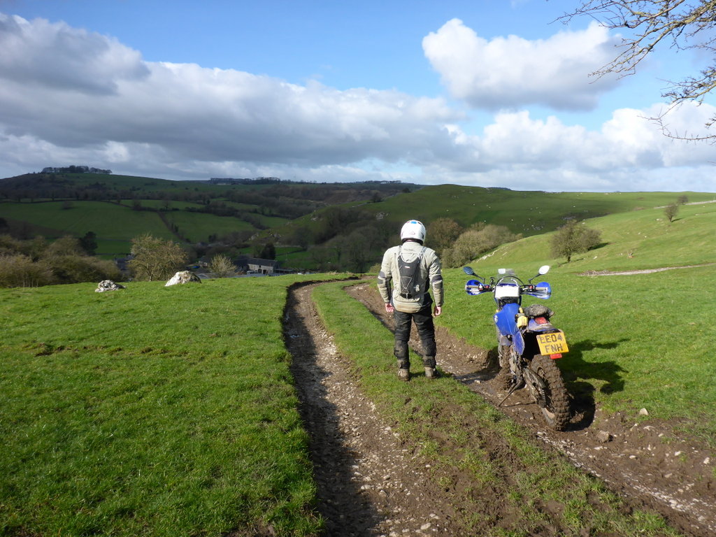
This excellent scenic UCR known as White Edge is in the Parish of Ballidon, I won’t print what some folk call it because of the often wet muddy looped eastern section before exiting the gate at point ‘B’ onto the main road, B5056 Fenny Bentley/Longcliffe. The route is recorded on TW2 as SK2054-02.
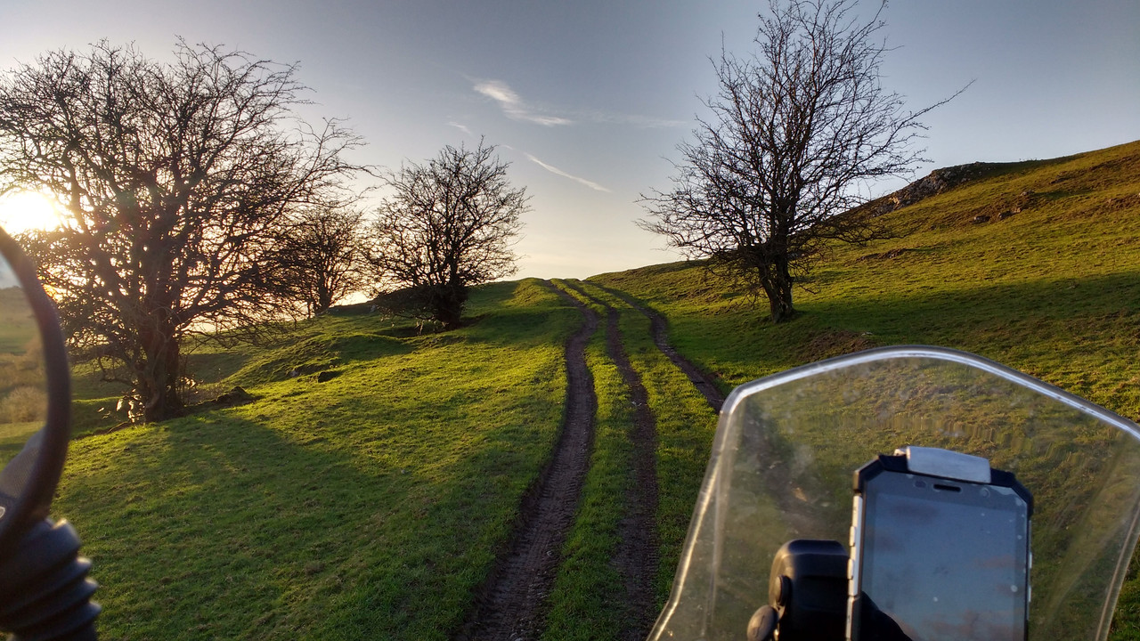
The official map is attached, as is a blank UEF. You will need to use that map, even though it has an error on it showing the route from the gate at point B as a straight line. We know it follows the little ‘dog leg section’ going up the hill as shown on my map so simply highlight your actual route on the official map, remembering to mark the location of the two gates too. Do not leave any section/s blank, write N/A to any that you think are not relevant to your use. I have also attached as an example a map showing the actual shape of the route on the ground.
Completed user evidence forms in this instance quoting reference 25358 should before 16th July 2021 be sent direct to DCC at;
[email protected]
and so that we can track progress please send copies to;
[email protected]
Remember, attach a copy of the DCC map (‘consultation plan’ file attached) marked up with the route you rode/drove, and sign both documents.
TTFN.
Hugh.
We have another route for which we require your User Evidence Forms. The route was originally claimed as a BOAT back in December 2004 so the critical 20 year time frame is 1984 through to 2004. Evidence of later use might still be of influence in our favour so if you have used the route please record such.
This excellent scenic UCR known as White Edge is in the Parish of Ballidon, I won’t print what some folk call it because of the often wet muddy looped eastern section before exiting the gate at point ‘B’ onto the main road, B5056 Fenny Bentley/Longcliffe. The route is recorded on TW2 as SK2054-02.
The official map is attached, as is a blank UEF. You will need to use that map, even though it has an error on it showing the route from the gate at point B as a straight line. We know it follows the little ‘dog leg section’ going up the hill as shown on my map so simply highlight your actual route on the official map, remembering to mark the location of the two gates too. Do not leave any section/s blank, write N/A to any that you think are not relevant to your use. I have also attached as an example a map showing the actual shape of the route on the ground.
Completed user evidence forms in this instance quoting reference 25358 should before 16th July 2021 be sent direct to DCC at;
[email protected]
and so that we can track progress please send copies to;
[email protected]
Remember, attach a copy of the DCC map (‘consultation plan’ file attached) marked up with the route you rode/drove, and sign both documents.
TTFN.
Hugh.
- Hugh map.jpg (110.37 KiB) Viewed 1787 times