Well, I have maps
but I also quite like sat nav
Which one is better
There's only one way to find out......
Maps
Re: Maps
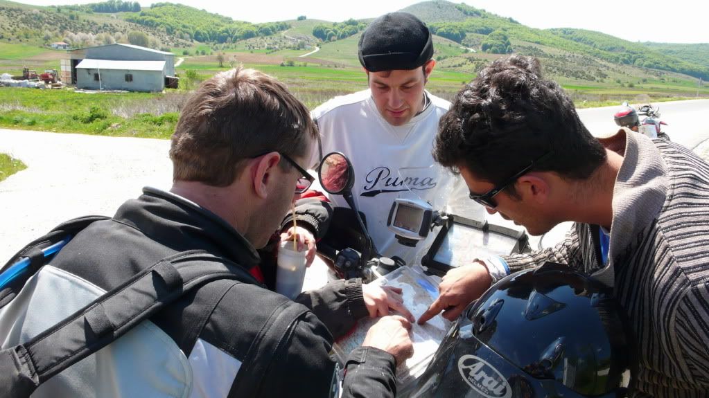
Absolutely carry maps as well as the GPS.
Which ones depends on how detailed a tour you're on. For traversing France the basic 1:1,000,000 will do. For the area you're visiting I find the 1:200,000 is pretty good but for dirt roads and GRs you'll need the local 1:50,000 or better. In France that's IGN maps which are equivalent to our Ordinance Survey. You can generally find maps locally when you get there.
Which ones depends on how detailed a tour you're on. For traversing France the basic 1:1,000,000 will do. For the area you're visiting I find the 1:200,000 is pretty good but for dirt roads and GRs you'll need the local 1:50,000 or better. In France that's IGN maps which are equivalent to our Ordinance Survey. You can generally find maps locally when you get there.
Re: Maps
on the roads i have only sat nav. within last two years i did 25 000 miles with a cheap sat nav without any issues.
i do not see a problem to pop in to the nearest petrol station and grab a map, if the sat nav fails.
i use maps only for real offroad navigation, or out of europe, where getting a map around the corner would actually be a problem.
i do not see a problem to pop in to the nearest petrol station and grab a map, if the sat nav fails.
i use maps only for real offroad navigation, or out of europe, where getting a map around the corner would actually be a problem.
""
-
backofbeyond
- Posts: 802
- Joined: Mon Aug 09, 2010 5:04 am
- Been thanked: 1 time
Re: Maps
Louisdut wrote:
Probably better to check the map before the weather turns bad though -
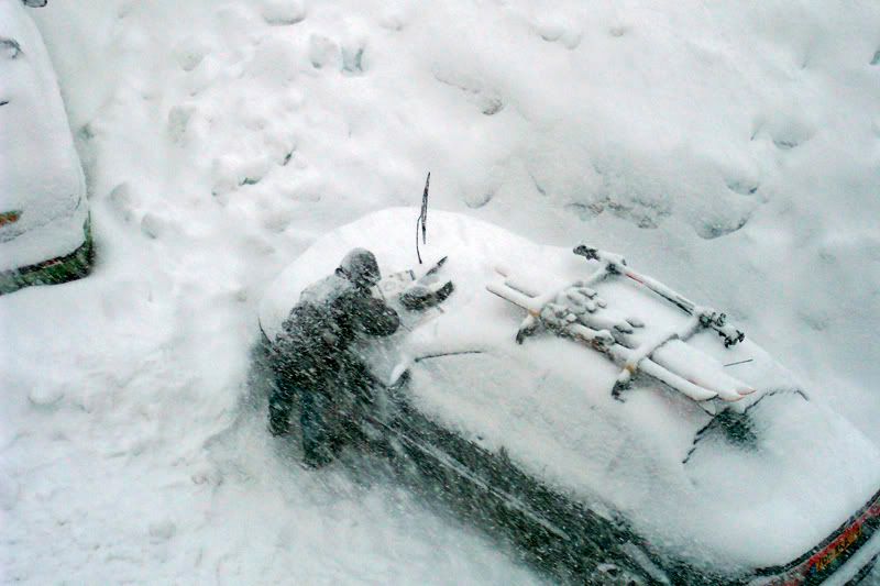
Actually he was reading the instructions for putting on snow chains! :S
The ups and downs of 40 years on two wheels
www.pisquicktours.co.uk
Do the best you can, then try to live it down.
CCM604 Honda XR600 Honda CBX1000
Honda 400/4 Yamaha XS2 650 Kawasaki H1 500
Lotus Elan, Land Rover Discovery
Re: Maps
Years ago I was given a freeby European road atlas, I keep it in a plastic in the map pocket of my tank bag. rarely used but good for looking at the bigger picture.
The biggest and bestest is though comparing routes and tips is so much easier on a paper map than trying to scroll a poxy little screen or when you zoom out the road disappears
The biggest and bestest is though comparing routes and tips is so much easier on a paper map than trying to scroll a poxy little screen or when you zoom out the road disappears
For more info click on the Dambuster Signature banner
-
overthehillsun
- Posts: 5
- Joined: Mon Apr 04, 2011 7:35 pm
Re: Maps
always carry a map GPS will take you to your destination but with a map you can see the area you are in and decide find local places of interest and help with rerouting via were you want to go
-
dazedproductions
- Posts: 241
- Joined: Tue Mar 22, 2011 6:33 pm
Re: Maps
For the Londoners, Stanfords maps near Covent Garden is pretty good, got all my Europe 1:250,000 maps there
www.stanfords.co.uk
www.stanfords.co.uk
Re: Maps
I generally prefer maps but GPS is handy for track logging when off roading with inaccurate/incomplete maps and for finding street addresses in unfamiliar towns.
Possibly useful for following someones track log.
It all depends if it matters if you get lost or not. If I'm out trying to log a new off road route I keep an eye on the map but the GPS stays in my pocket and I look at the log when I get home - much more interesting just following your nose and seeing where you end up.
